Empowering Governments with Geospatial Excellence
Leverage location intelligence to make informed decisions, optimize public services, and enhance citizen satisfaction.
Urban Planning & Infrastructure Development
Strategically develop and enhance urban areas. Use xMap to understand land utilization, congestion zones, and public needs for improved urban planning.


Public Safety & Emergency Response
React swiftly and efficiently in emergencies. Utilize xMap to map out key facilities, develop quick response routes, and anticipate areas of potential risks.
Environmental Monitoring & Conservation
Track and preserve the natural environment. xMap allows governments to monitor changes in ecosystems, pollution levels, and the impact of urban development on natural resources.


Citizen Engagement & Feedback
Engage citizens actively in governance. Use xMap's tools to collect, analyze, and visualize public feedback for better policy formulation and public service improvement.
Efficient Taxation & Land Use Regulation
Optimize revenue collection and regulate land use efficiently. xMap helps in mapping taxable properties, understanding zoning regulations, and ensuring compliance.

See what other companies are saying about us
Name Surname
Position, Company name
Name Surname
Position, Company name
Name Surname
Position, Company name
Name Surname
Position, Company name
Angela Mitchell
City Council of Newbridge
Urban Planner
Diego Fernandez
Federal Environmental Agency
Chief Environmental Officer
Harpreet Kaur
State Emergency Services
Operations Director
Samuel Obinna
National Revenue Authority
Tax Compliance Officer
Get in Touch
Whatever your goal or project size, we will handle it.
We will ensure you 100% satisfication.
"We focus on delivering quality data tailored to businesses needs from all around the world. Whether you are a restaurant, a hotel, or even a gym, you can empower your operations' decisions with geo-data.”


We have received your message and one of our client success team will get back to you shortly.
Discover New Blog Posts

The Importance of Spatial Analysis


The Future of Spatial Analysis


Spatial Analysis for Beginners


The Power of Geospatial Data


Spatial Analysis in Urban Planning


The Role of GIS in Environmental Conservation

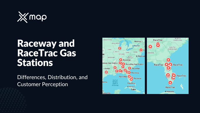
Raceway and RaceTrac Gas Stations – Differences, Distribution, and Customer Perception (2025)

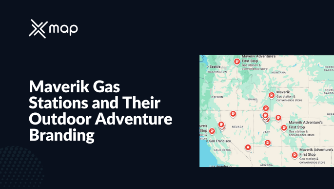
Maverik Gas Stations and Their Outdoor Adventure Branding (2025)

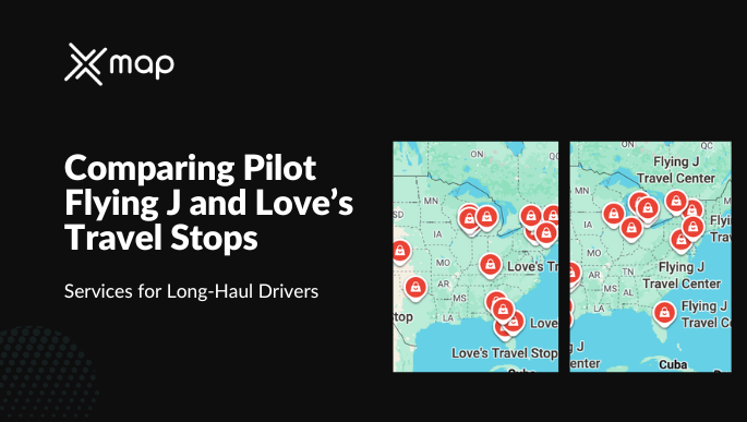
Comparing Pilot Flying J and Love’s Travel Stops – Services for Long-Haul Drivers

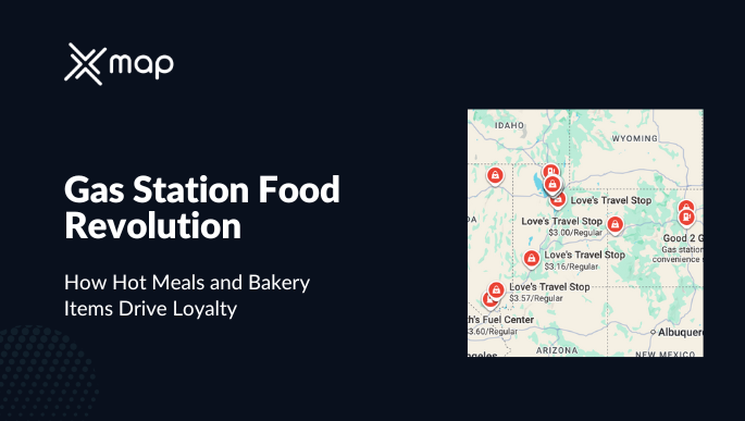
Gas Station Food Revolution | How Hot Meals and Bakery Items Drive Loyalty (2025)

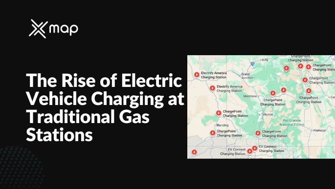
The Rise of Electric Vehicle Charging at Traditional Gas Stations (2025)

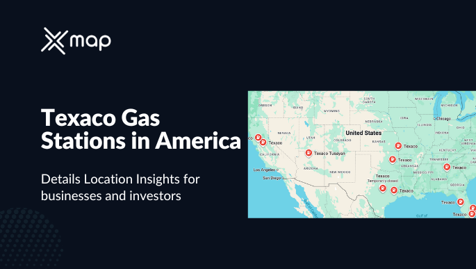
Texaco Gas Stations in America – Heritage, Legacy, and Modern Operations (2025)

How Buc-ee’s Became a Texas Phenomenon and Is Expanding Nationwide (2025)

Exploring Holiday Stationstores and Their Northern Stronghold (2025)

Wawa vs. Sheetz: The Battle of East Coast Gas & Convenience Giants (2025)

Speedway vs. 7-Eleven: Merger Impact on the U.S. Gas Station Market in 2025

Understanding Costco Gas Stations: Locations, Member Experience, and Growth in 2025

A Comprehensive Guide to QuikTrip Gas Stations: Data Insights for Site Selection (2025)

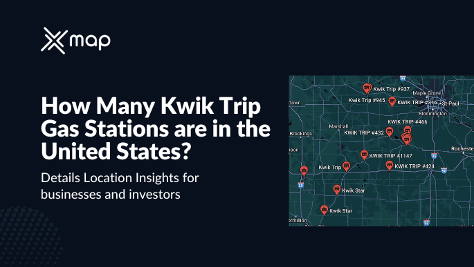
Exploring Kwik Trip Gas Stations in the U.S.: Locations, Customer Experience and Market Share

How many Hungry Howies restaurants are in the United States in 2025? | Detailed Insights

How many Jersey Mikes locations are in the United States? | All You need to know

Culver's Restaurants in the USA: Essential Data Insights for F&B Businesses and Investors

Number of Cheddar's Scratch Kitchen in USA | All You need to know

How many Marshalls stores are in the United States in 2025? | Everything You need to know

How many Wingstop restaurants are in the United States in 2025? | All You need to know

Number of Aubuchon Hardware stores in the United States in 2025 | All You need to know

How many Boston Market restaurants are in the United States in 2025?

How many Enterprise Rentals locations are in the United States in 2025? | Everything You need to know

How many Hertz stores are in the United States in 2025? | All You need to know

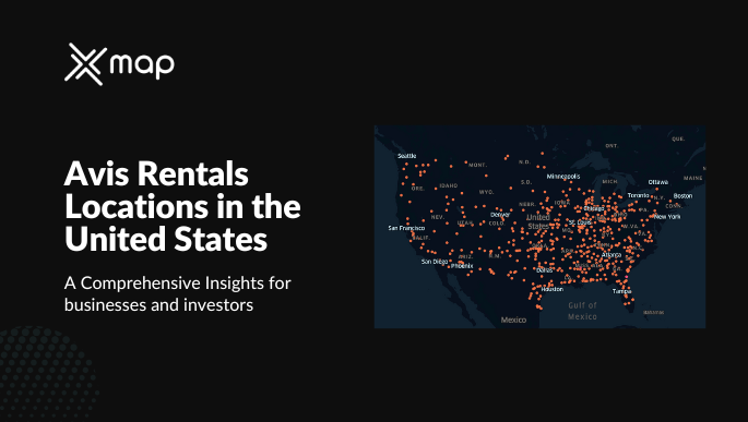
How many Avis Rentals locations are in the United States in 2025?

How many Jets Pizza restaurants are in the United States in 2025? | All You need to know

How many Carls Jr restaurants are in the United States in 2025? | Everything You need to know

How many Francescas stores are in the United States in 2025? | Everything You need to know

How many Portillo's locations are in the United States in 2025? | All You need to know


How many American Deli restaurants are in the United States in 2025? | All You need to know


How many Michaels stores are there in the United States in 2025? | All You need to know


Number of Del Taco restaurants in the United States in 2025


Number of Sizzler locations in the United States in 2025 | Everything You need to know


Number of Belk stores in the United States in 2025 | Everything You need to know


How many Jollibee restaurants are there in the United States in 2025?


How many JCPenney stores are there in the United States in 2025? | All You need to know

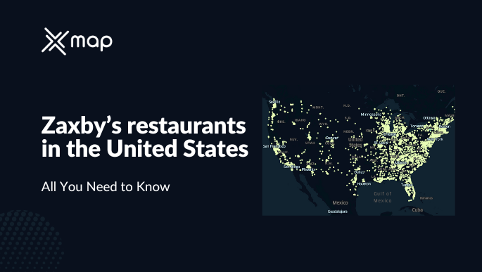
How many Zaxby's restaurants in the United States in 2025? | All You need to know


Number of The Cheesecake Factory locations in the United States in 2025


How many Waffle House restaurants are in the United States in 2025?


12 Powerful Use Cases of Location Intelligence in 2025 Across Industries


12 Mistakes Businesses Make Without Location Intelligence (And How to Avoid Them)


10 Ways Location Intelligence Can Transform Retail Site Selection in 2025


15 Critical Data Layers That Power Location Intelligence Decisions


How many Black Bear Diner locations are in the United States in 2025? | Everything you need to know


How many HEB stores are in the United States in 2025?


Abercrombie And Fitch stores in the United States


How many Wegmans stores are in the United States in 2025?


Number of Burlington stores in the United States in 2025 | Everything you need to know


How many Red Robin restaurants are in the United States in 2025?


Taco John's Restaurants in the United States | All You need to know


How many Lululemon stores are in the United States in 2025? | Everything You need to know


How many sprouts stores in the United States in 2025? | All You need to know


Long John Silver's Restaurants in the USA: Essential Data Insights for F&B Businesses and Investors


Comprehensive Analysis of Chuck E' Cheese Locations in the USA


Number of AT & T locations in the United States in 2025

Number of Round Table Pizza restaurants in the United States


Number of Panera Bread restaurants in the United States in 2025


How many White Castle restaurants are in the United States in 2025?


How many Outback Steakhouse restaurants are in the United States in 2025?


How many Bob Evans Restaurants are in the United States in 2025?


How many Whole Foods Market stores are in the United States in 2025?


How Many Big Lots Stores Are in the United States in 2025?


How Many Costco Stores Are in the United States in 2025?


How Many McAlister's Deli Restaurants Are in the United States in 2025?


How Many Best Buy Stores Are in the United States in 2025?


How Many Total Wine & More Stores Are in the United States in 2025?


How Many In-N-Out Burger Restaurants Are in the United States in 2025?


How Many 99 Cents Stores Are in the United States in 2025?


How many Olive Garden restaurants are in the United States in 2025?


How many Raising Canes restaurants are in the United States in 2025? | All You need to know


Smashburger restaurants in the United States in 2025 | Everything You need to know


Cracker Barrel restaurants in the United States in 2025 | All You need to know


Number of Hunt Brothers Pizza stores in the United States in 2025


Number of Whataburger restaurants in the United States in 2025


Number of Lidl stores in the United States in 2025


Number of Texas Roadhouse restaurants in the United States in 2025


Number of Jack In The Box restaurants in the United States in 2025


Number of Kaady Car Wash locations in the United States


Performance of Caffè Nero Locations in England

.png)
How Many Caffè Nero Locations Are in the England, UK?


How Are United Pharmacy Locations in Saudi Arabia Performing?


How Many United Pharmacy Locations Are in Saudi Arabia?


Performance of Love's Travel Stop in the USA Using Customer Feedback


How Many Love's Travel Stop Stores Are in the USA?


McDonald's vs. Burger King: A Comprehensive U.S. Store Locations Analysis

%20Locations%20Are%20in%20Saudi%20Arabia.png)
How Many NAFT Services Company (NAFT) Locations Are in Saudi Arabia?


How Are Subway Franchises Performing in the UAE?


How Many Subways Are in the UAE? - All You need to know


Performance of Care n Cure Health Facilities in Qatar


How Many Care n Cure Health Facilities Are in Qatar?


Performance of Piggly Wiggly Stores in the USA


Number of Piggly Wiggly Stores in the USA in 2025


Saudi Arabia’s Retail Landscape in 2025: A Comprehensive Guide


Walmart vs. Target: A Comprehensive U.S. Store Locations Analysis


Operational Performance of ADNOC Service Stations in the UAE


How Many ADNOC Service Stations Are in the UAE? Using Location Data for Business Research


How Is Starbucks Performing in England? Insights for Data-Driven Decision Making


How Many Starbucks Are in England? All You Need to Know in 2025 About Starbucks UK Market


Retail Expansion 2.0: AI & Geospatial Data for Smarter Site Selection


How Are Nahdi Pharmacies in Saudi Arabia? Using Traffic & Rating


How Many Nahdi Pharmacies Are in Saudi Arabia in 2025?

